Log in
All resources
Create a design
35,690 Free Images of Round Maps
maps made in the 18th century
atlantis magni tomus primus (biblioteca comunale di trento)
pieter schenk (i)
18th-century engravings
old maps of europe
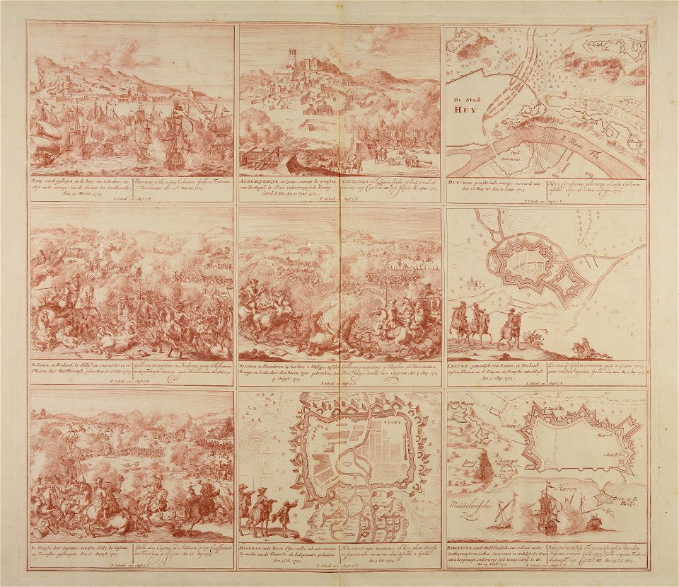
war of the spanish succession
cities in europe
new york city
george hayward
images from the new york public library
collection de la bibliothèque municipale de reims
old maps of aube
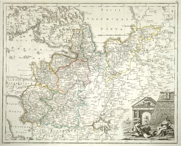
atlas of the russian empire (1800)
tver governorate
illustrations from 'robinson crusoe' by walter paget
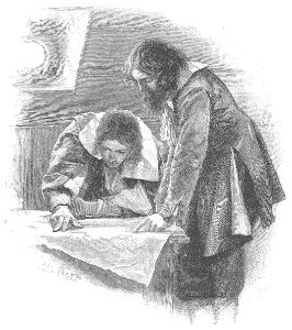
people with maps in art
old maps of saint petersburg governorate
atlas of the russian empire (1800)
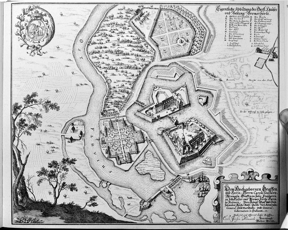
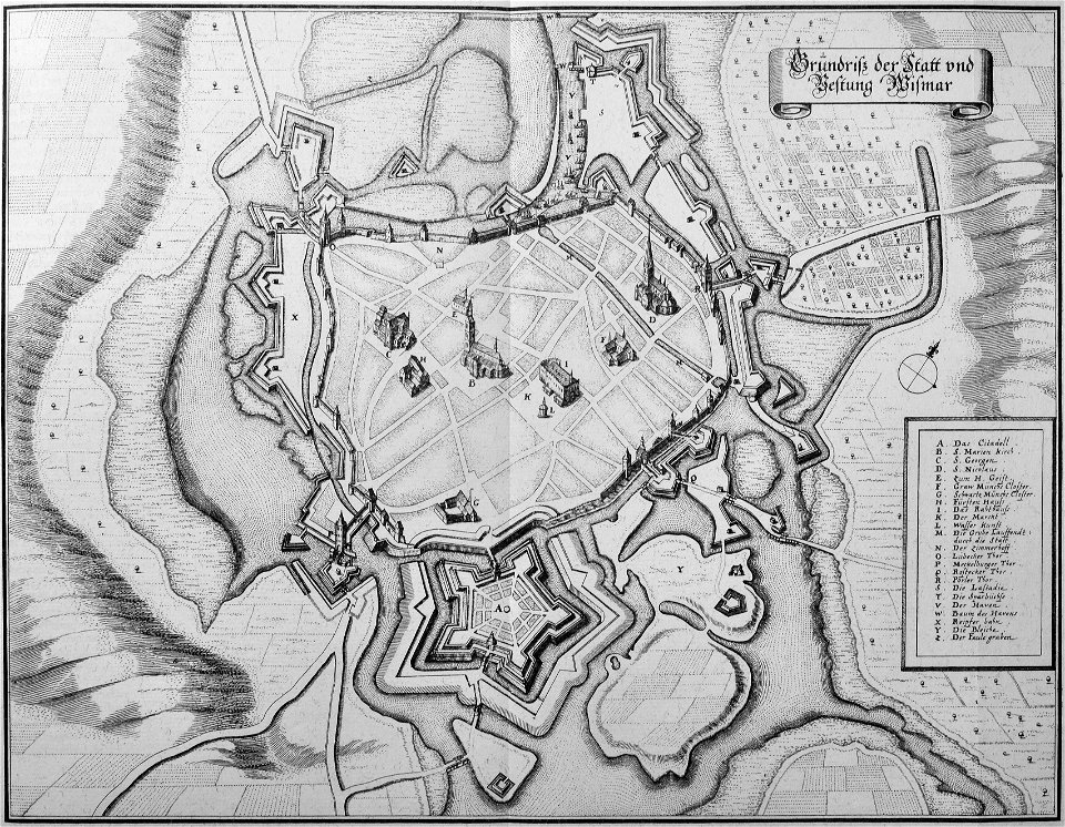
engravings of topographia saxoniae inferioris
maps of bremervörde
engravings of topographia saxoniae inferioris
topographia saxoniae inferioris (merian)
vättern
vänern
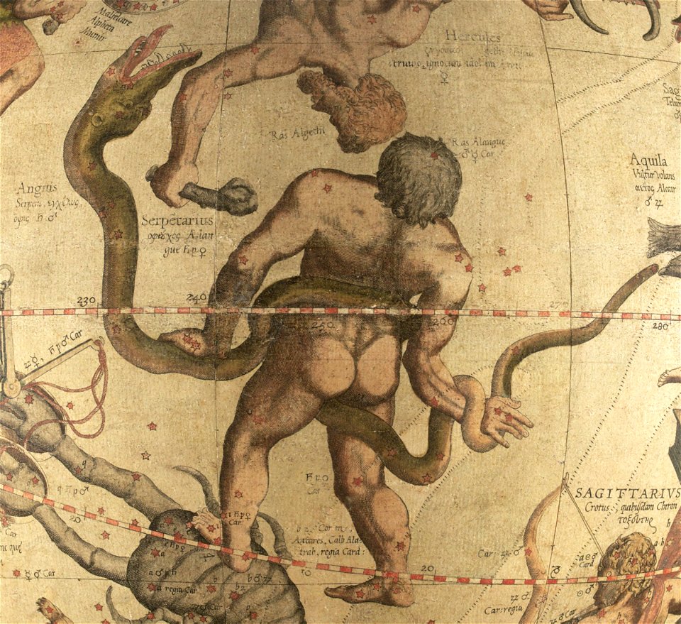
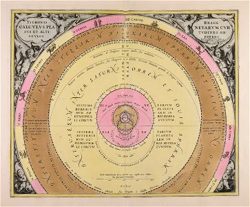
ophiuchus (constellation)
maps by gerardus mercator
bibliothèque municipale de reims
rès. g 153
breitenlee
aspern
university of toronto wenceslas hollar digital collection
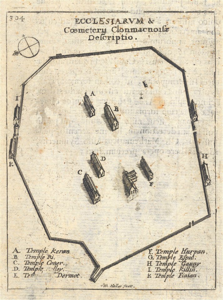
clonmacnoise
voyagie door italien
dalmatien
geographical illustrations by coronelli
old maps of the peloponnese
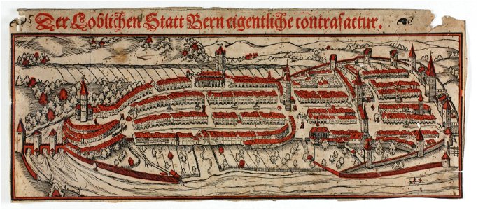
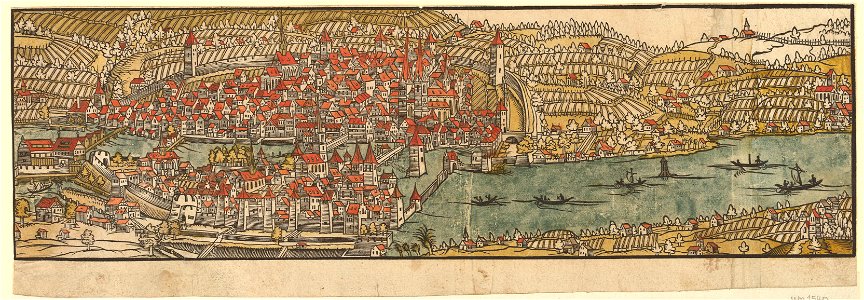
woodcuts of switzerland
15th-century woodcuts
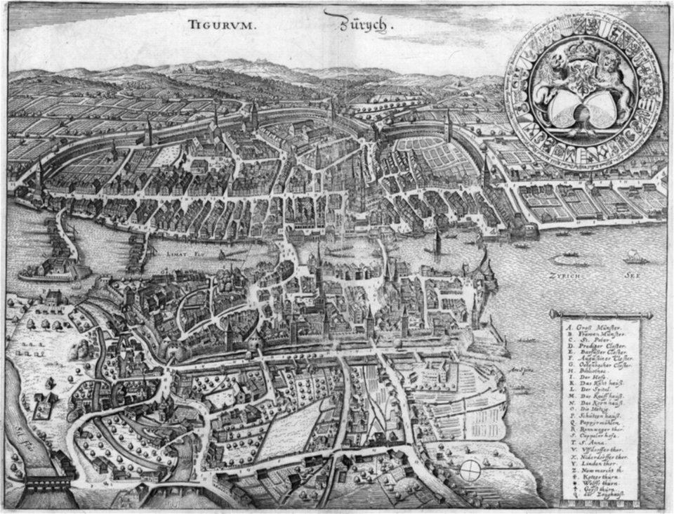
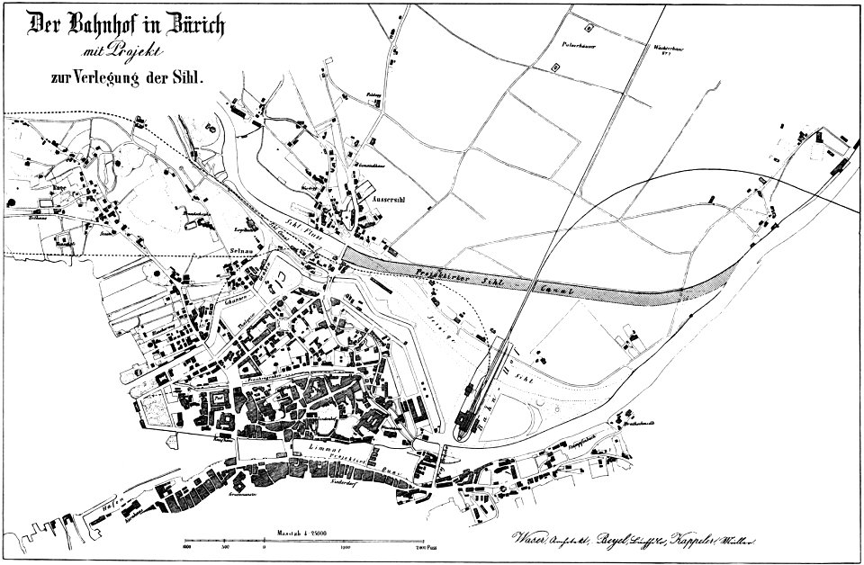
old maps of zürich
merian helvetiae
graphische sammlung der zentralbibliothek zürich
old maps of zürich
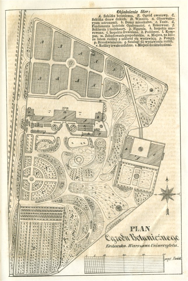
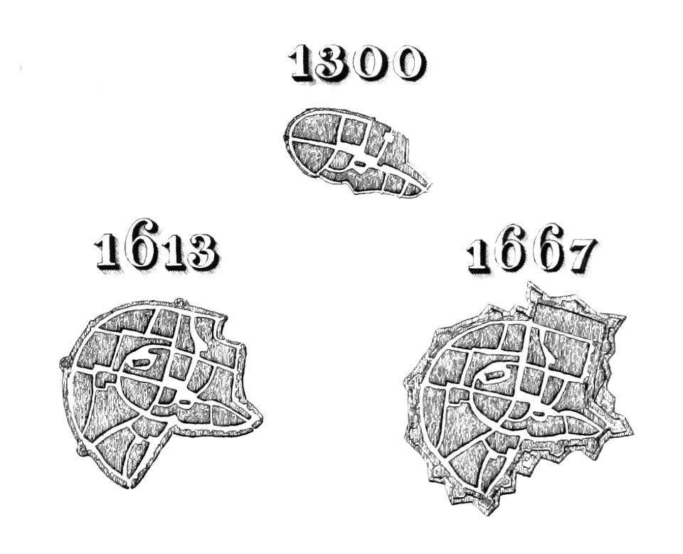
historical maps of warsaw
warsaw in the 1840s
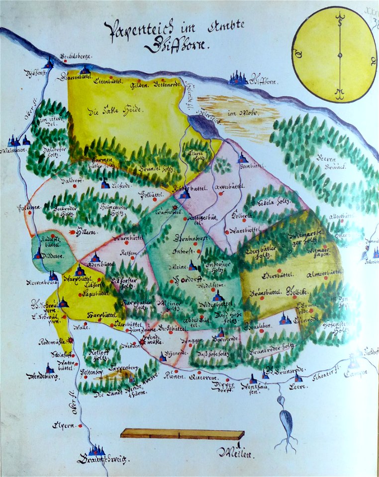
ämteratlas des fürstentums lüneburg von johannes mellinger
mein
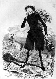
grandville (caricaturist)
people with maps in art
1758
1756
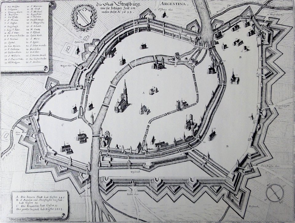
collections de la bibliothèque nationale et universitaire de strasbourg
old maps of territories in the upper rhenish circle
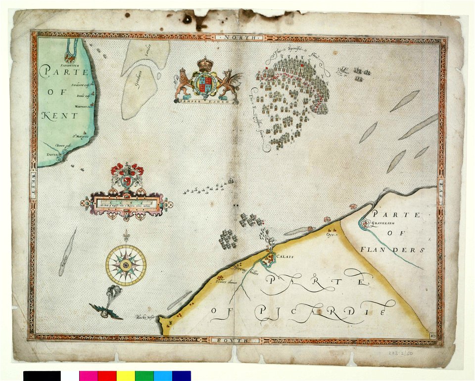
maps from the mechanical curator collection
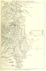
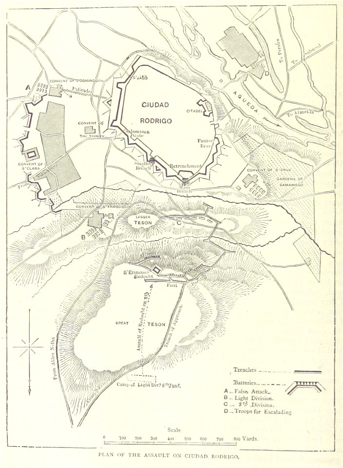
british battles on land and sea
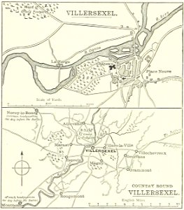
historical images of villersexel
1895 drawings
castle island
bermuda
streets in hamburg-langenhorn
hamburger stadtentwässerung
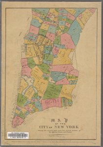
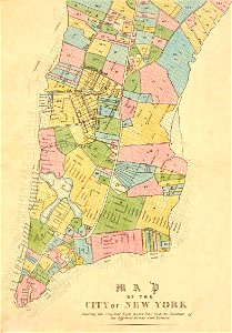
george hayward
new york city
george hayward
new york city
17th-century maps of maastricht
maps of the franco-dutch war
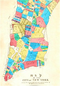
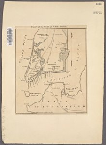
manual of the corporation of the city of new york (1861)
new york city
dutch 17th-century prints in the rijksmuseum amsterdam
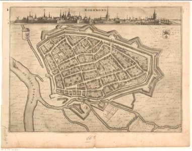
roermond in the 17th century
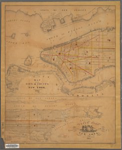
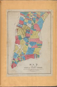
george hayward
new york city
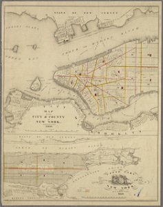
george hayward
new york city
george hayward
new york city
manual of the corporation of the city of new york (1856)
new york city
maps from the mechanical curator collection
british battles on land and sea
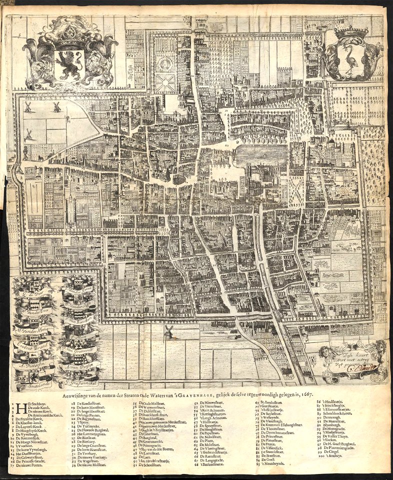
old maps of the hague
1668
old maps of the canton of zürich
maps made in the 16th century
artworks with known accession number
artworks without wikidata item
history of rhine river in germany
vauban
fonds ancely - bibliothèque municipale de toulouse - maps
coats of arms of cities in pyrénées-atlantiques
broad street
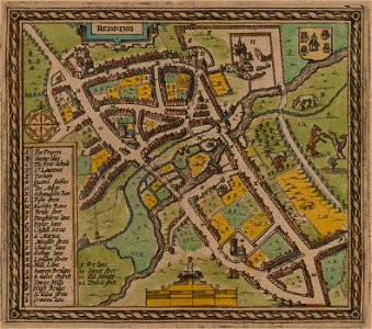
reading
1853
54
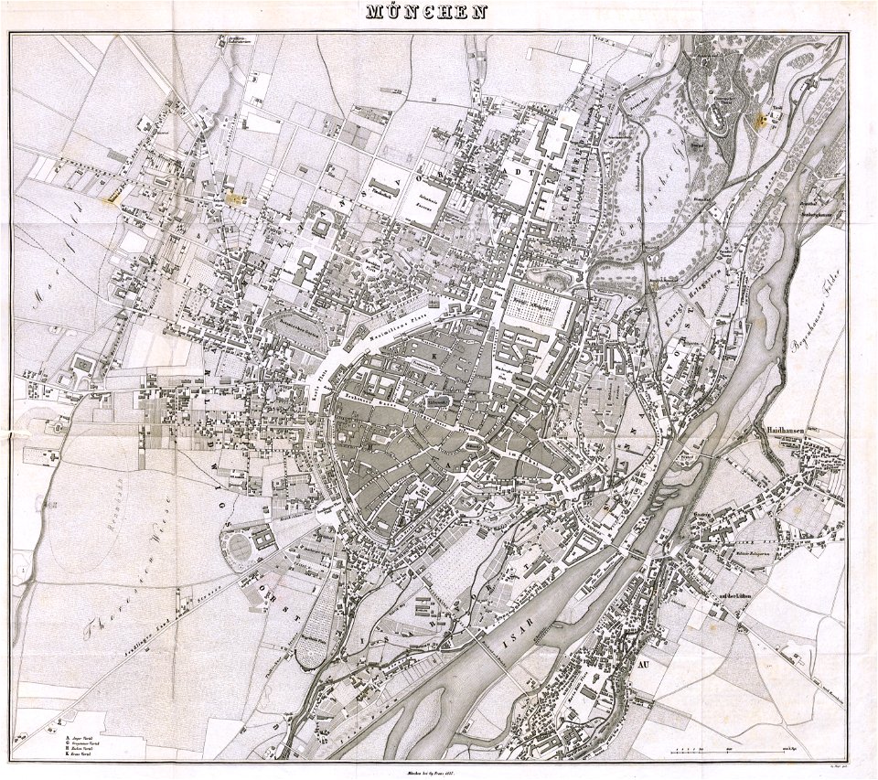
munich in the 19th century
old city maps of munich
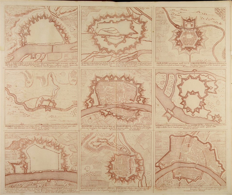
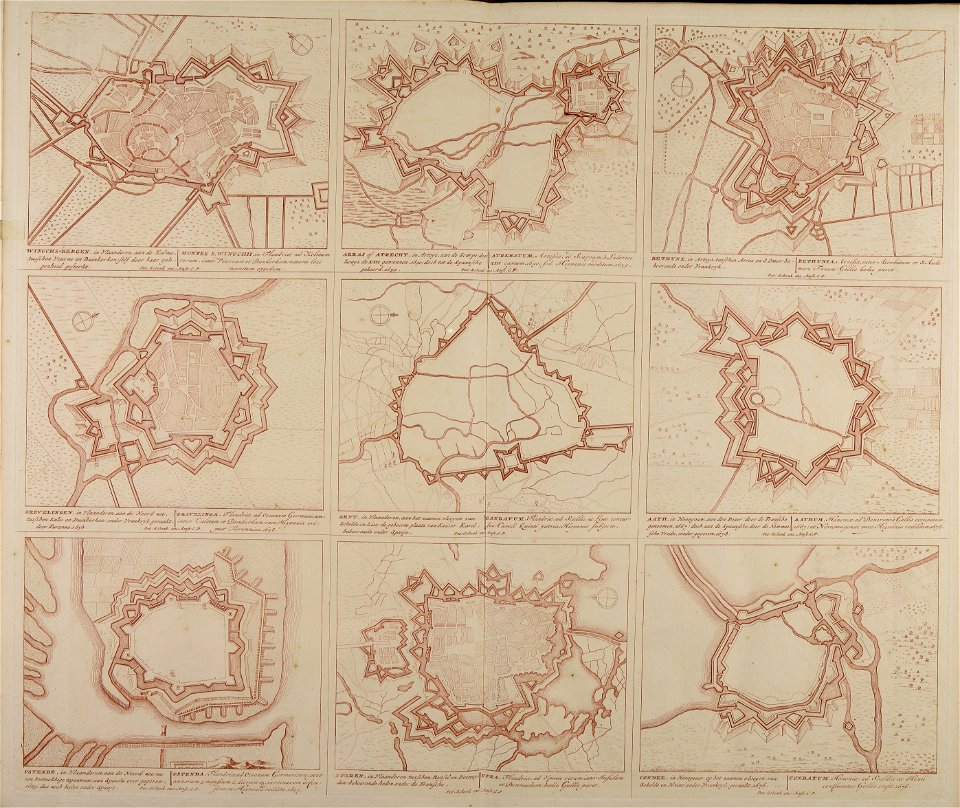
maps made in the 18th century
gerard valck
maps from the mechanical curator collection available to georeference
maps from the mechanical curator collection
maps in utrecht university library
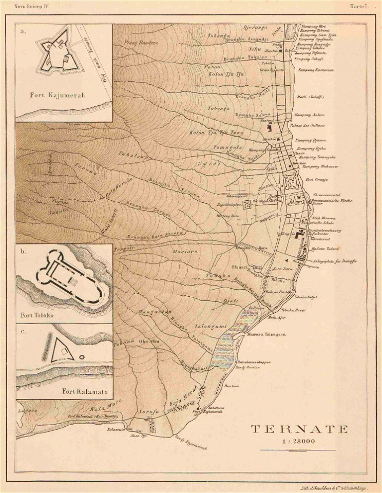
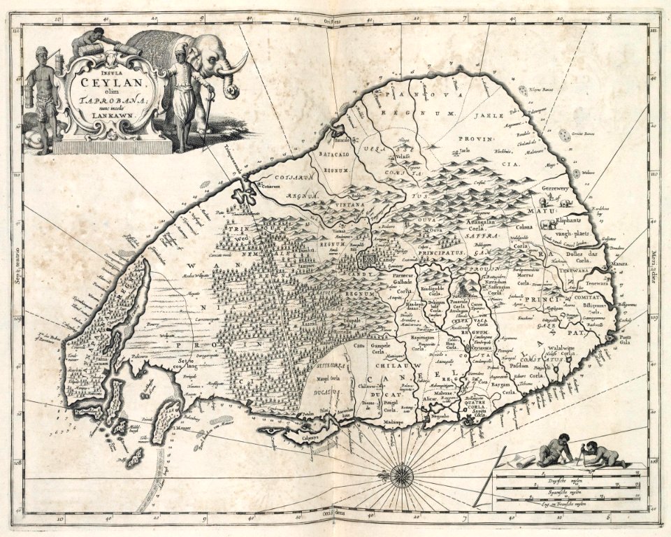
indonesia
history of rail transport in switzerland
aussersihl
collections of the cabinet des estampes et des dessins
strasbourg
maps made in the 18th century
gerard valck
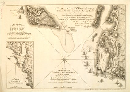
charts and maps of the royal museums greenwich
1590 maps
maps made in the 18th century
18th-century engravings
maps made in the 18th century
18th-century engravings
maps made in the 18th century
18th-century engravings
maps made in the 18th century
18th-century engravings
maps made in the 18th century
18th-century engravings
maps made in the 18th century
18th-century engravings
maps made in the 18th century
18th-century engravings
maps made in the 18th century
18th-century engravings
munich in the 19th century
old city maps of munich
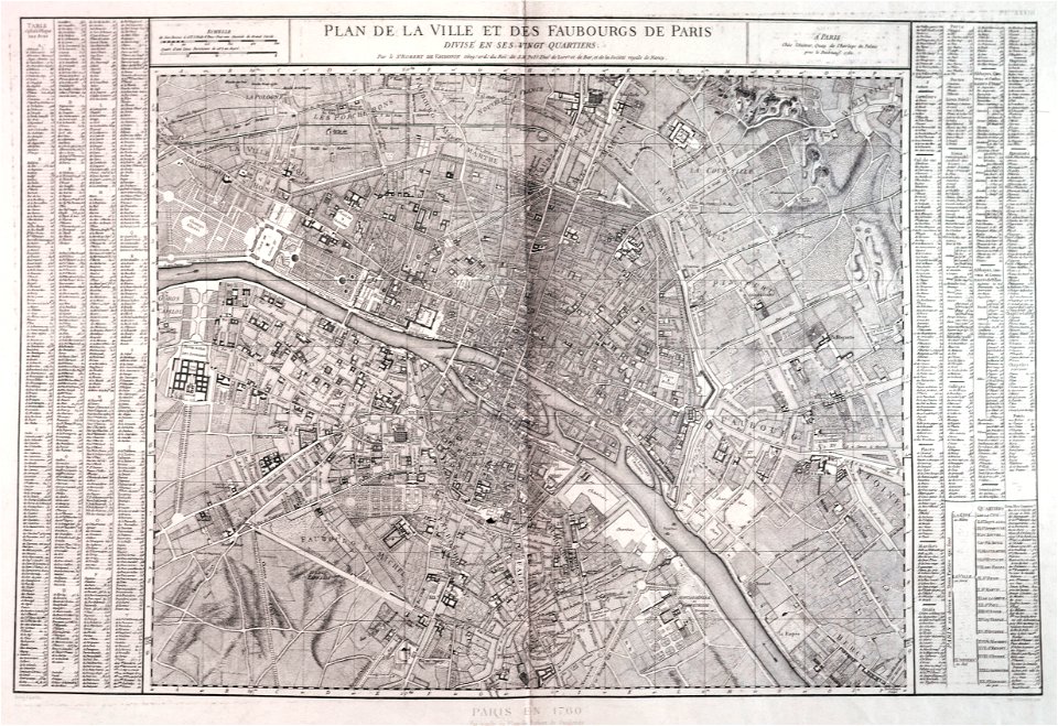
maps of paris from paris musées
1760 in paris
maps made in the 18th century
18th-century engravings
maps and topographical views by joris hoefnagel
crete under venetian rule
19th-century paintings of madonna and child
eduard jakob von steinle
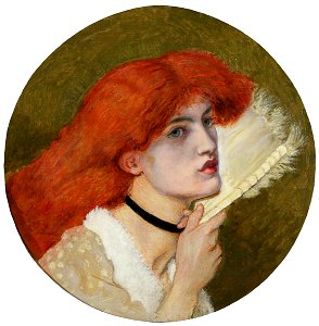
portrait paintings by ford madox brown
women facing right in art
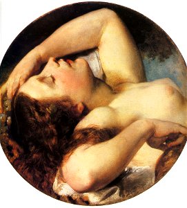
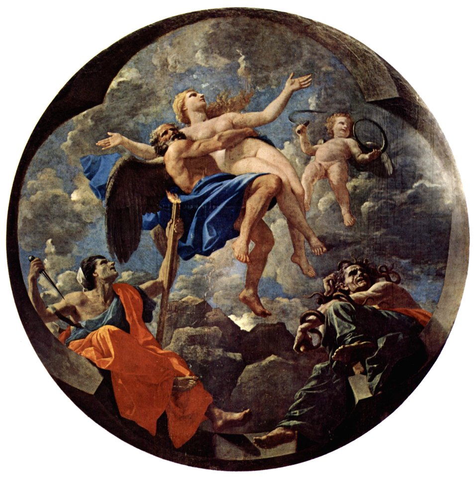
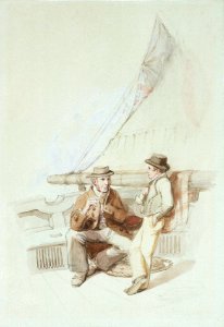
round paintings of people
paintings of maenads
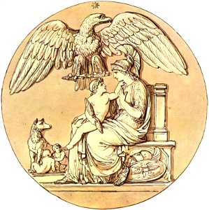
capitoline she-wolf
round picture
grand duke of tuscany
leopold ii
1750s oil on canvas paintings in the united kingdom
butler
16th-century oil on panel paintings in the united states
frame painting
16th-century religious paintings in italy
round picture
nicolas poussin
tondo
geographical illustrations by coronelli
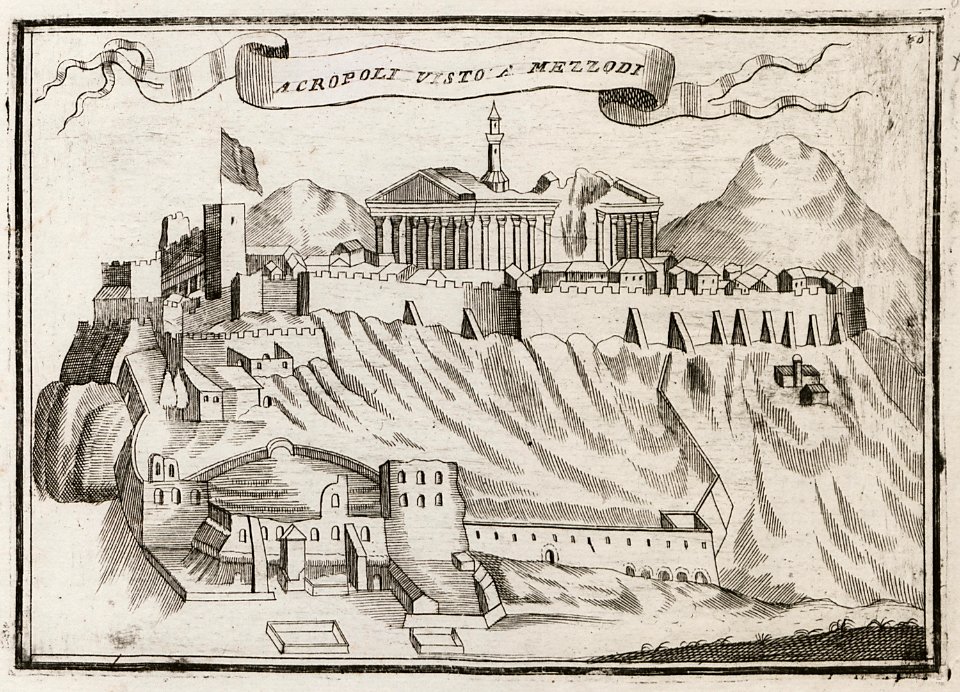
acropolis of athens in art
william elmes
printing
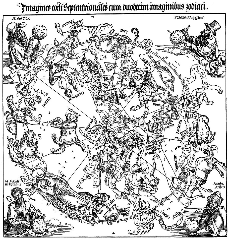
the northern hemisphere of the celestial globe by albrecht dürer
old celestial maps
engravings of topographia saxoniae inferioris
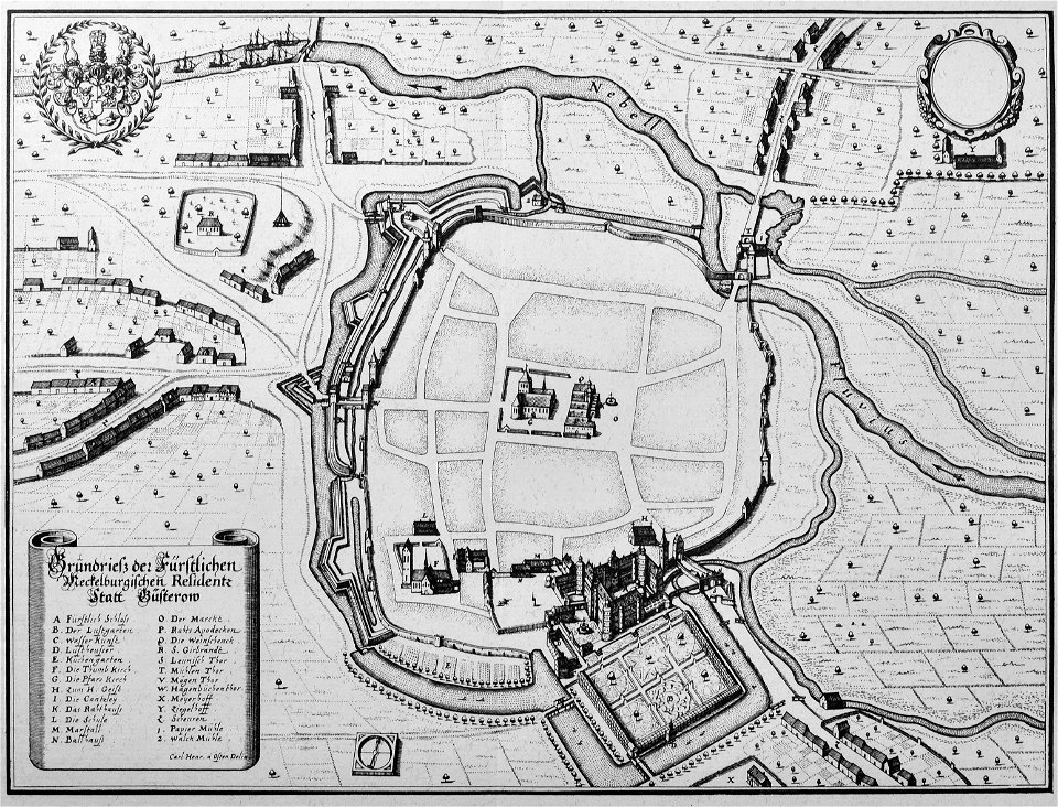
güstrow in the 17th century
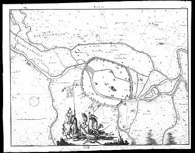
engravings of topographia bohemiae moraviae et silesiae
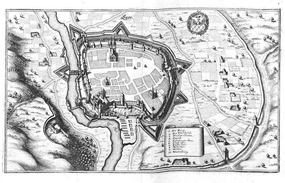
history of cheb
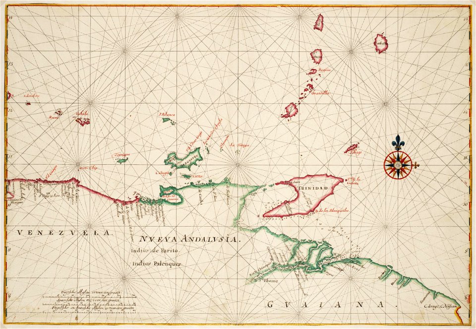
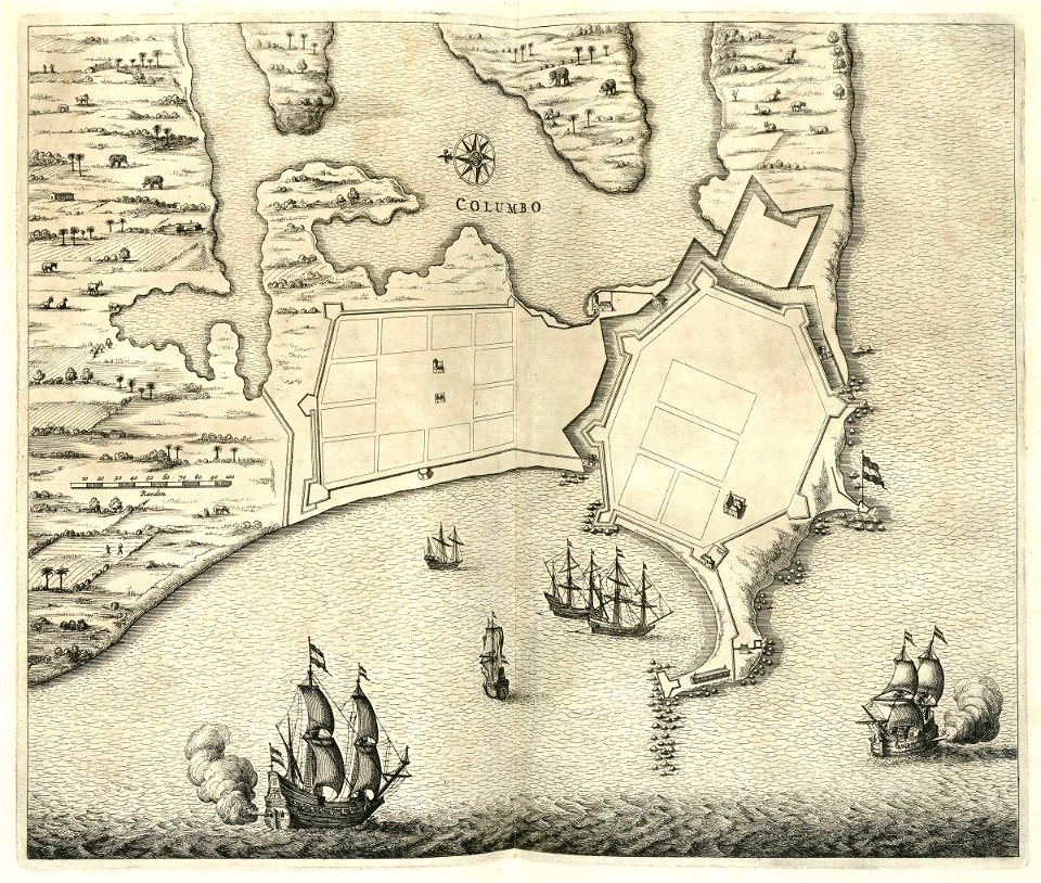
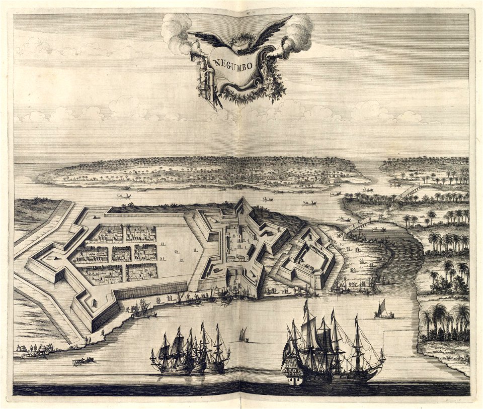
west-indische compagnie
gerard van keulen
prints by giovanni battista piranesi
old maps of rome
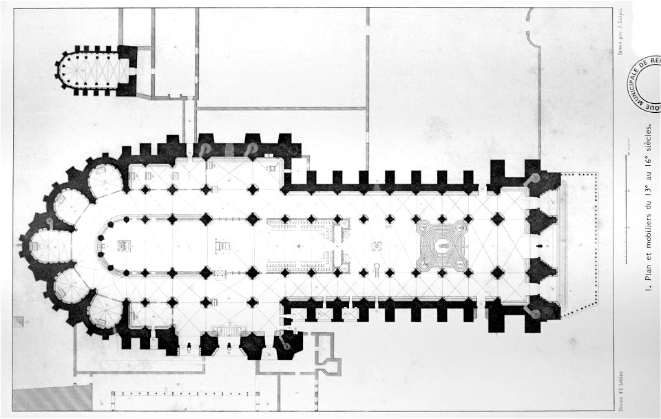
bibliothèque municipale de reims
maps of the county of flanders
scans by the library of geneva
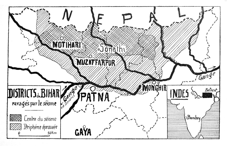
maps of bihar
drawings of france
1600s drawings
bibliothèque municipale de reims
maps of reims
cento vedute di firenze antica
old maps of florence
prints of battle of lepanto
giovanni camocio
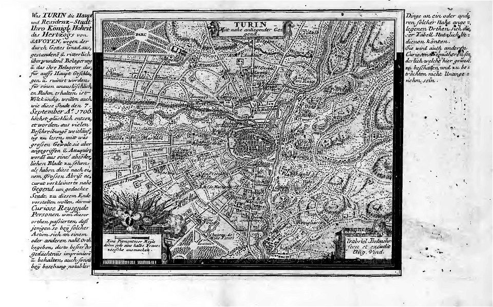
old maps of turin
history of turin
old maps of turin
history of turin
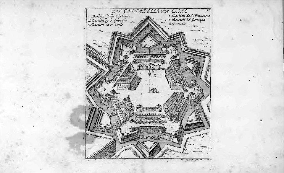
historical images of casale monferrato
old maps of casale monferrato
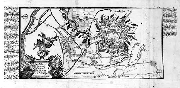
old maps of turin
history of turin
old maps of turin
history of turin
frederick marryat
printing
geographical illustrations by coronelli
athens in the ottoman era
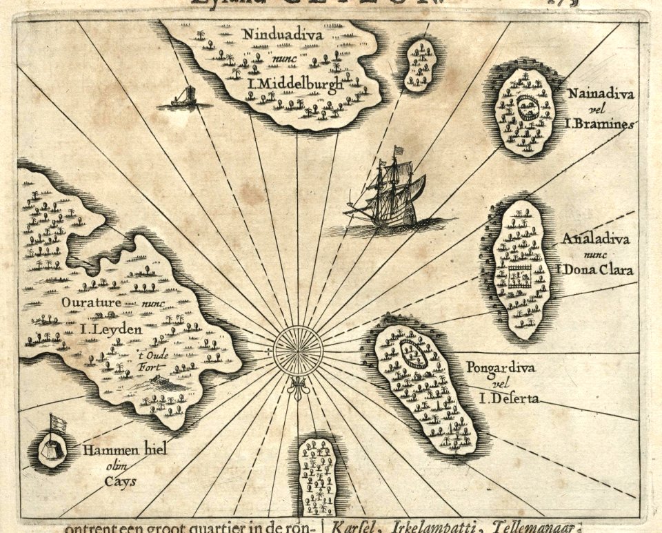
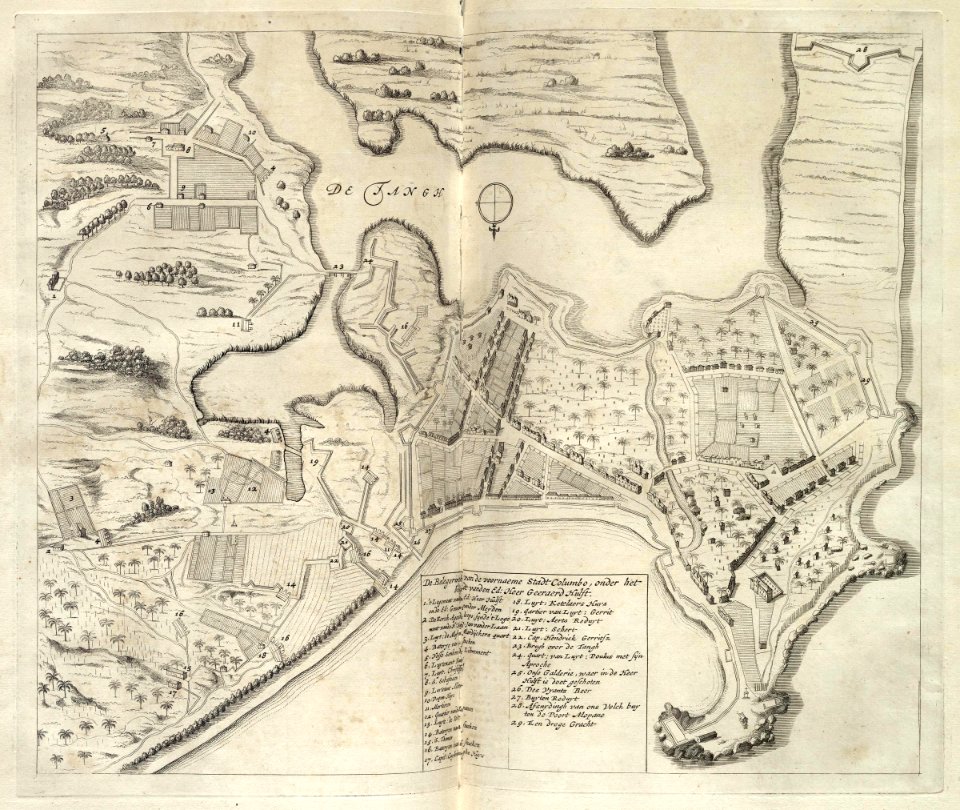
maps of the dutch east india company - india
1755
maps of the west-indische compagnie
1665
johannes janssonius waasbergen
1672
johannes janssonius waasbergen
1672
johannes janssonius waasbergen
1672
johannes janssonius waasbergen
1672
johannes janssonius waasbergen
1672
johannes janssonius waasbergen
1672
maps of the west-indische compagnie
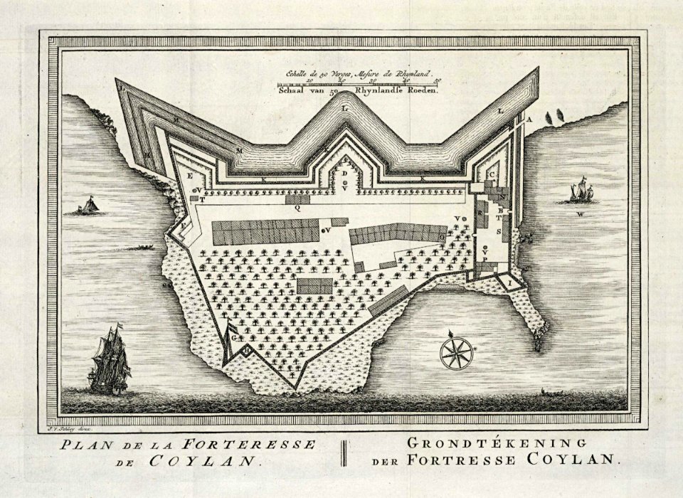
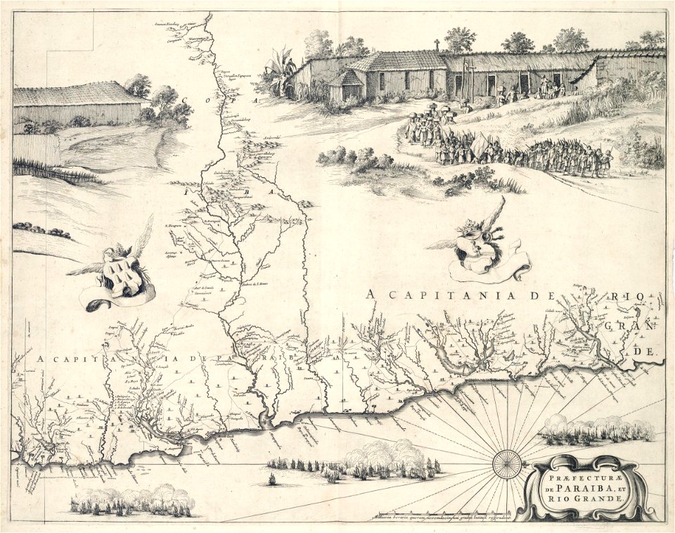
praefecturae de paraiba
8801 - 8900 of 35,690
Next page
/ 357